Accurate aerial mapping for real-world decisions
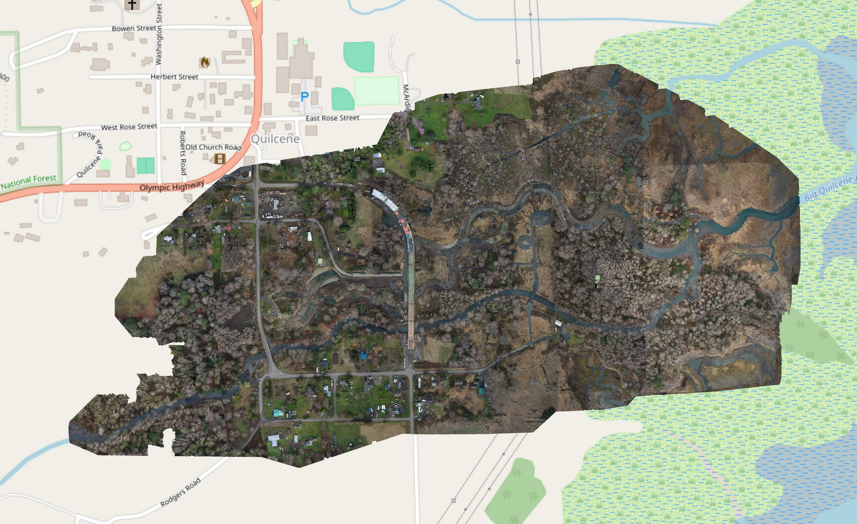
Our aerial mapping services are built to give you a clear, accurate understanding of the land—without guesswork. Using high-resolution drone imagery and precise flight planning, we capture detailed data that can be transformed into orthomosaic maps, 3D models, elevation data, and site measurements. Whether you're planning a project, tracking progress, or documenting conditions, the goal is simple: deliver reliable information you can actually use in the field and in decision-making.